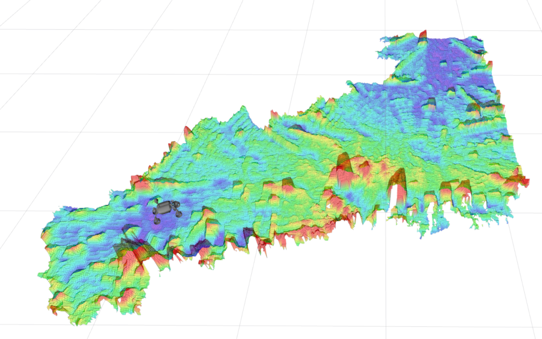
We present datasets of 2.5D elevation maps of planetary environment that were collected on Mt. Etna during the space-analogous ARCHES mission. In addition to the raw elevation maps, we provide cost maps that encode the traversibility of the terrain.
These datasets are meant to be used for bench-marking of path-planning algorithms in an unstructured planetary-analogue environment for mobile robots.
The data can be accessed under:
All datasets on this page are copyright by us and published under the CC BY-SA 4.0 license (Creative Commons Attribution-ShareAlike 4.0 International License). This means that you must credit the authors in the manner specified above and you may distribute the resulting work only under the same license.
Being submitted for IROS 2022 workshop.
Access
To gain access to the full list of sets please fill in.